Photographic survey of Karelichy District (part 1): Zapol’lje, Karelichy, Hornaja Ruta/Dol’naja Ruta, Zabalots’tsje, Rutkavichy, Navasjolki, Ljubanichy, Astashyn, Luki.
This is the first of several series of photos from explorations of Karelichy District, whose district seat lies about 60 miles/100 kilometers southwest of Mjensk.
Фотавандроўка па Карэліцкім раёне (частка I): Запольле, Карэлічы, Горная Рута/Дольная Рута, Забалоцьце, Руткавічы, Навасёлкі, Любанічы, Асташын, Лукі.
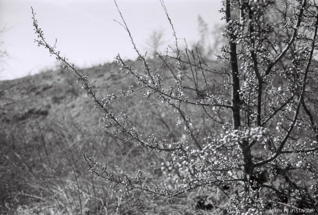
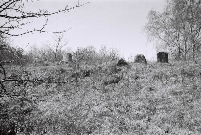
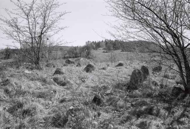
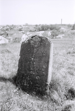
Tatar cemetery, Karelichy 2018.
Tatar armies were both a threat to the Grand Duchy of Lithuania (VKL) and, from at least the beginning of the 14th century, a source of manpower invited by the grand dukes to settle in the VKL and to help defend the VKL’s borders. Today one finds Tatar toponyms and at least 30 Tatar cemeteries throughout central, northwestern and western Belarus: see, for example, photos of the day for June 7, 2016 (Arda), March 9, 2016 (Ardashy) and June 26, 2014 (Turki).
The Tatar cemetery in Karelichy is located on a hillside on the northwestern edge of the town.
Татарскі мізар, Карэлічы 2018 г.


